Agricultural Surveying & Monitoring Services
Specialist surveying for farms, estates and agri-businesses. From topographic mapping to drainage, utilities and building surveys, we provide the data you need to plan, manage and maximise your agricultural land and assets.
Get a free quoteDiscuss Your Project
Tell us about your agriculture project and we'll respond with a free quote.
Why Accurate Surveys Matter in Agriculture
In agriculture, land is both a working asset and a source of livelihood. Accurate geospatial data is critical for informed decision making, whether planning infrastructure upgrades, optimising drainage, constructing new buildings or managing land boundaries.
Agricultural sites present distinct challenges: varied topography, watercourses, access limitations and historic boundaries. Precise survey data helps landowners, estate managers and agricultural businesses overcome these complexities while ensuring safety, compliance and efficiency.
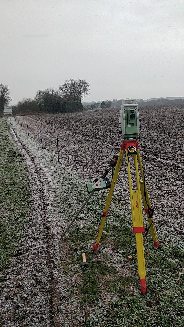
Surveying Services for Agriculture
Tailored solutions for your sector
Topographic & Land Surveys
Map farmland, tracks, watercourses and built assets in detail. Provide elevation data to inform infrastructure and drainage design.
Underground Utility Surveys
Identify buried services to prevent strikes during excavation. Support safe installation of drainage, irrigation and service infrastructure.
Measured Building Surveys
Capture precise dimensions of barns, farmhouses and agricultural buildings. Support renovation, conversion and valuation work.
Structural Monitoring
Track movement or settlement in large sheds, reservoirs and rural structures. Maintain safety and stability of agricultural assets.
Drainage & Hydrographic Surveys
Map open water features, drainage channels and flood risk areas. Support effective land drainage and water management strategies.
Digital Twins & BIM Models
Create accurate digital representations of agricultural facilities. Support planning, design coordination and asset management.
The Impact of Accurate Data
How precision surveying supports agriculture projects
Informed Decision Making
Accurate data enables confident planning for infrastructure, drainage and boundary management.
Risk Reduction
Identify buried services and structural issues before they become costly problems.
Asset Maximisation
Better understand your land to unlock its full potential for development or diversification.
Ready to Discuss Your Project?
If you work in the agricultural sector and have any survey requirements, please get in touch. We #BackBritishFarming.
Get a quote