UAV & Drone Surveys
Capturing high-quality aerial imagery and data to give you a full picture of your site. Our CAA-approved pilots deliver safe, efficient aerial surveys for mapping, inspection, monitoring and volumetric analysis.
Get a free quote- Aerial photography
- Orthomosaic maps
- Digital elevation models
- Volumetric analysis
- Thermal imaging
- Progress monitoring
- 3D terrain models
- Roof inspections
Aerial Precision
Our UAV and drone survey services capture high-resolution aerial data for mapping, inspection and monitoring. Drone surveys provide a cost-effective way to cover large sites quickly, producing accurate orthomosaic maps and 3D terrain models that integrate with your design software.
All flights are planned and executed by CAA-approved pilots with full operational authorisation and full insurance cover.
Applications Across Industries
Drone surveys serve a wide range of purposes:
- Construction site mapping and progress monitoring
- Volumetric analysis for earthworks and stockpile measurement
- Roof and facade inspections without scaffolding
- Environmental surveys and habitat mapping
- Solar panel inspections using thermal imaging
- Large-scale topographical surveys covering 50+ acres

Technology and Compliance
We operate the latest DJI and senseFly drone platforms equipped with high-resolution cameras, RTK GPS positioning and optional thermal sensors. All surveys are conducted in compliance with CAA regulations, with full risk assessments and flight permissions obtained before every deployment.
Data is processed using industry-standard photogrammetry software to produce georeferenced orthomosaic maps, digital elevation models and 3D point clouds. All outputs are compatible with AutoCAD, Revit, Civil 3D and GIS platforms.
Drone Capabilities
Advanced aerial technology for every project type
Orthomosaic Maps
High-resolution georeferenced aerial imagery stitched into a single, measurable map.
3D Terrain Models
Digital elevation models for earthworks design, volumetric analysis and site planning.
Thermal Imaging
Identify heat loss, moisture ingress and solar panel defects from the air.
Progress Monitoring
Regular aerial surveys to track construction progress against programme and design.
How We Deliver Your Survey
Consultation
We review your requirements, assess the site and provide a detailed quotation.
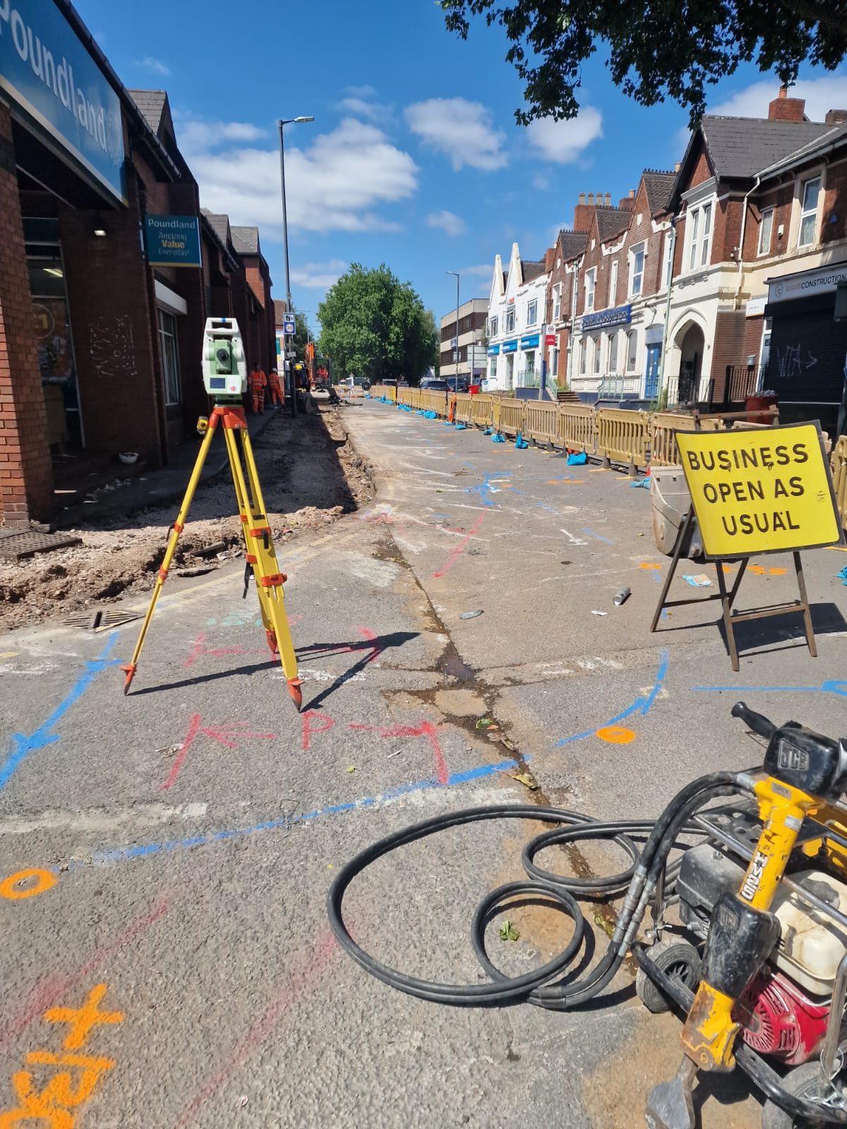
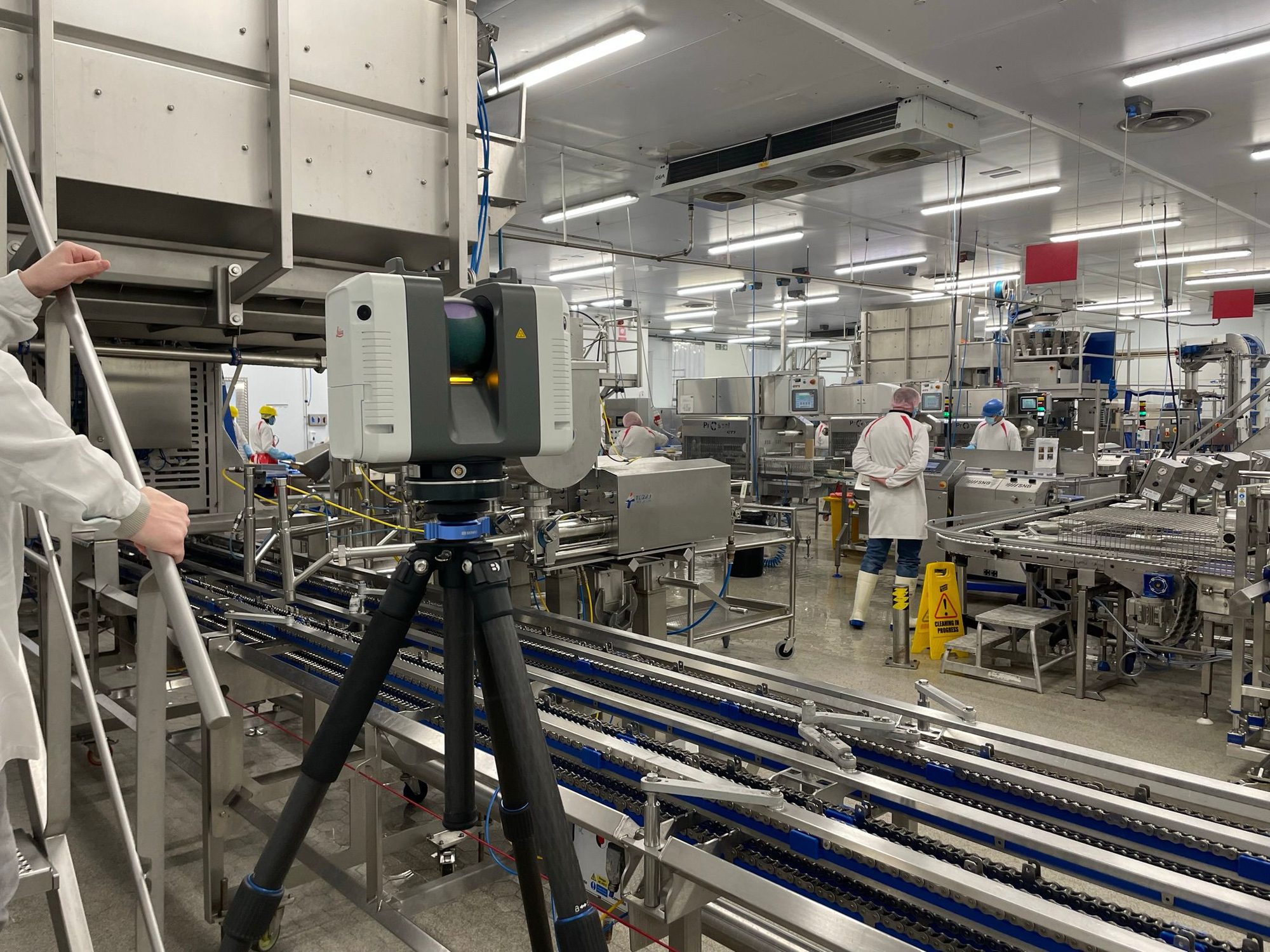
Site Survey
Our qualified surveyors visit the site with the latest equipment to capture accurate data.
Data Processing
Raw data is processed, quality-checked and prepared in your required format.
Delivery
Completed survey data delivered on time, with full support for any follow-up queries.
The Red Box Advantage
Calibrated Equipment
Professional-grade instruments maintained and calibrated for accurate, defensible results.
Expert Surveyors
90+ years combined experience. CSCS certified, fully insured and professionally qualified.
Fast Turnaround
Most surveys completed and delivered within 5-10 working days. Rush options available.
Fixed Pricing
Clear quotes upfront with no hidden fees. You know exactly what you pay before we start.
Fully Accredited
SSIP, CHAS, CSCS certified. Members of The Survey Association with full professional insurance.
UK-Wide Coverage
Nationwide service from our head office in Cheshire with satellite offices across the UK.
Why Choose Red Box Surveys
90+ Years Combined Experience
Our senior management team brings over 90 years of surveying experience, ensuring every project meets the highest standards.
Nationwide Coverage
With satellite offices across the UK, we deliver efficient, cost-effective services wherever your project is located.
Latest Technology
We use advanced 3D laser scanning, GPS and GPR equipment to deliver precise, reliable data every time.
Frequently Asked Questions
Yes. All our drone pilots hold CAA-approved Operational Authorisations (formerly PfCO) and are fully insured for commercial aerial work. We maintain all required documentation and operational procedures.
A single drone flight can typically cover 20-50 acres depending on the resolution required and flight altitude. For larger sites, multiple flights are planned and the data is stitched together .
With appropriate permissions and coordination with air traffic control, we can operate in controlled airspace near airports. This requires additional planning time but is routinely managed as part of our service.
With RTK GPS positioning and ground control points, our drone surveys achieve horizontal accuracy of 20-30mm and vertical accuracy of 30-50mm. For higher precision, we integrate drone data with ground-based total station measurements.
For standard sites, we can typically deploy within 3-5 working days of receiving instructions. Emergency or time-critical deployments can be arranged at shorter notice subject to availability and weather conditions.
Get a free quote
Ready to discuss your project? Fill in the form and our team will get back to you with a detailed quotation, typically within 24 hours.